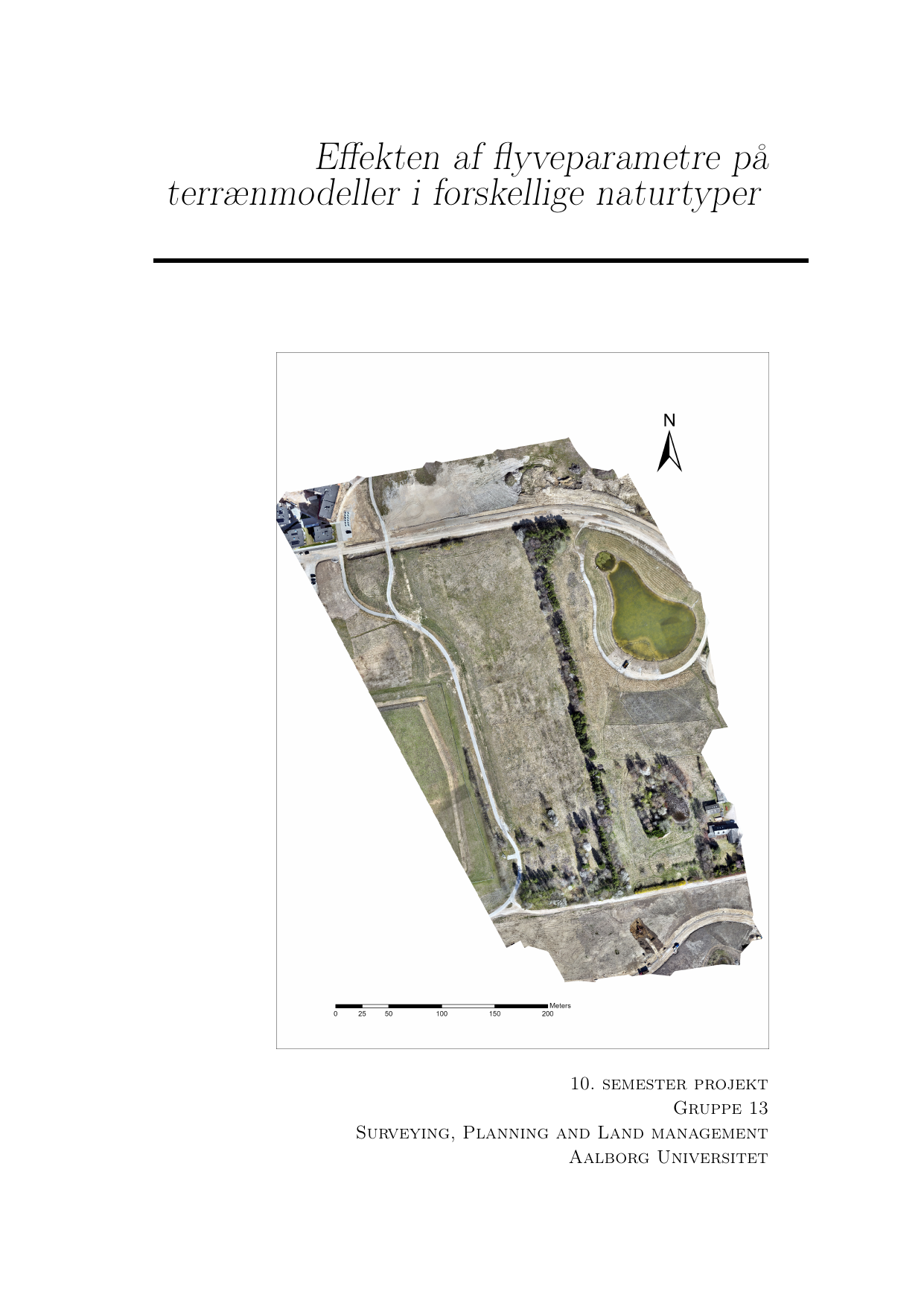
Effekten af flyveparametre på terrænmodeller i forskellige naturtyper
Oversat titel
The effects of flightparameters upon terrainmodels in different nature types
Forfatter
Semester
4. semester
Udgivelsesår
2025
Afleveret
2025-05-27
Antal sider
65
Abstract
Dette kandidatprojekt er skrevet på baggrund af en interesse fra LE34 om at undersøge effekten af forskellige flyveparametre i forskellige naturtyper, med henblik på at identificere fremtidige retningslinjer for Lidarskanning med drone. Hertil arbejdes der ud fra en problemformulering "\textit{Hvordan påvirkes terrænmodellen af forskellige flyveparametre under forskellige naturtyper?}". Til undersøgelse af denne problemformulering blev der foretaget seks flyvninger over tre naturtyper, hvortil der blev opmålt kontrol og terrænpunkter som kontrolgrundlag. På baggrund af syv kvalitetsparametre, sammenlignes de 18 datasæt, i forhold til absolutte, relative og komparative analyser. Resultatet af forsøgene var minimal påvirkning på kvaliteten af terrænmodellerne generelt som følge af ændret flyveparametre, mens effekten af naturtypen havde den største indflydelse på kvaliteten af terrænmodellerne. Blandt anbefalingerne til LE34 er en ny tilgang til opmåling af kontrolpunkter på terræn fremfor befæstet overflader, som hidtil har været standard praksis.
This master thesis explores the topics of ULS, nature types, flying parameters and DTM's. With the rapidly improvements of drone technology alongside more portable and better LiDAR scanners, they become more common within the field of land surveying. In this regards LE34 has requested a standardisation of procedures when using ULS, with the means of achieving the best possible results from the survey. This master thesis investigates the main question. How are terrain models affected by different flight parameters in different nature types This question is based upon the aforementioned concerns from LE34, whereby answering the main question, it is possible to set some initial standard practices and procedures. To answer the main question, a study into what the use case, history and how the creation of terrain models (DTM) is necessary to understand the basics of what a DTM is. Through this chapter the DTM’s have a long history of representing the terrain features, as more than just the highest points, further they are used within the construction industry as a means of identifying the terrain layout and elevations regarding earthwork. The next important question is what effects different parameters might have upon a point cloud and DTMs. Through here is understood that plenty of factors are at play when performing ULS, but to simplify the analysis, only flying height and velocity is included for further analysis. It is furthermore discovered that there is a multitude of ways to determine the effects whereas three comparisons are chosen: Absolute, Relative and Comparative analyses between terrain points and DTM’s.\\ The main analysis is thus based upon three analyses, where the combined effects of flying parameters is examined, by comparison between datasets. Through this analysis it is found that flight parameters have a low influence upon the DTMs, where the randomness of the data had more significant impact, and were more spread out compared to the possible improvement changing flight parameters would have. It is therefore not possible to determine if the changes would be due to randomness or there would be slight improvements in the order of few millimetres to a couple of centimetres. This study also had a focus upon different nature types, whereas the same procedures and analyses were performed upon multiple nature types where significant patterns became obvious. The effects within the nature types were negligible, but the change between nature types were significant. As such the drone operator should pay more attention to the different nature types of which he is surveying with regards to error corrections, rather than focus on the flying parameters. One of the outliers in the dataset was lower altitudes above forests increased the accuracy of DTMs, which would need further investigations.
Emneord
