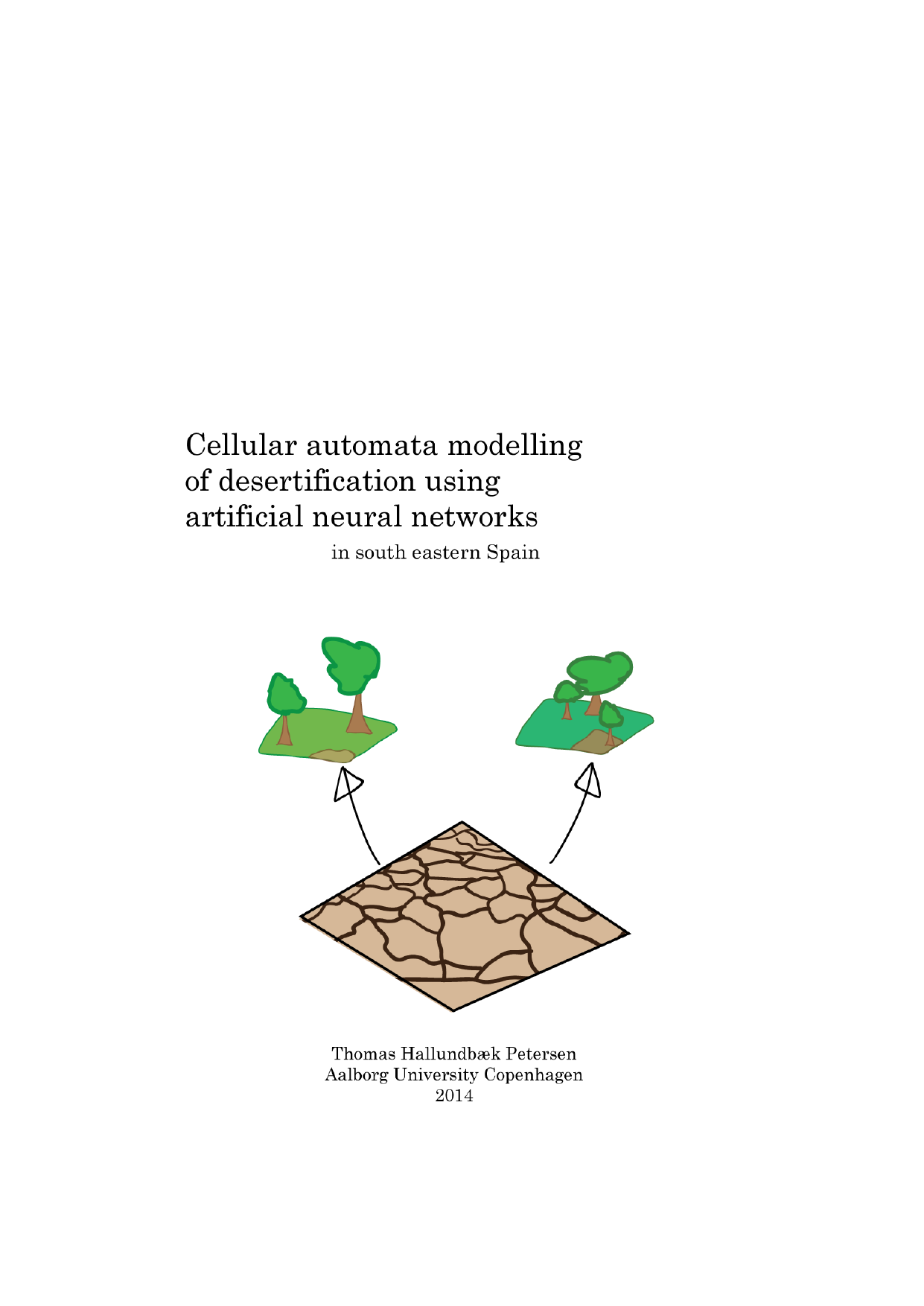
Cellular automata modelling of desertification using artificial neural networks: In south eastern Spain
Translated title
Author
Term
4. semester
Publication year
2014
Submitted on
2014-06-12
Pages
86
Abstract
Desertification is to an increasing extent being identified as a problem for the region of south eastern Spain. For politicians and planners to fight the desertification processes, there is a need for information regarding the severity and spatial extent of the desertification problem. In this thesis a desertification simulation model is built, with the aim of providing knowledge about desertification. The model is constructed as a continuous cellular automata model with an artificial neural network as transition rule. In this way satellite imagery, climatic forecasts and topographic data are used to simulate desertification as a geographical phenomenon. To model desertification a desertification index is constructed from NDVI satellite images and information on soil moisture and to include information about erosion, RUSLE is studied. As a result the model uses data for 2001-2012 to predict the level of desertification in 2013. The prediction shows an average inaccuracy of 9.84 %, and it is concluded that such a model is capable of modelling highly complex spatial processes such as desertification. The measured inaccuracy is not sufficiently low for the model to aid politicians and planners to make decisions on how to fight desertification and more research is needed to improve the model.
Keywords
Documents
