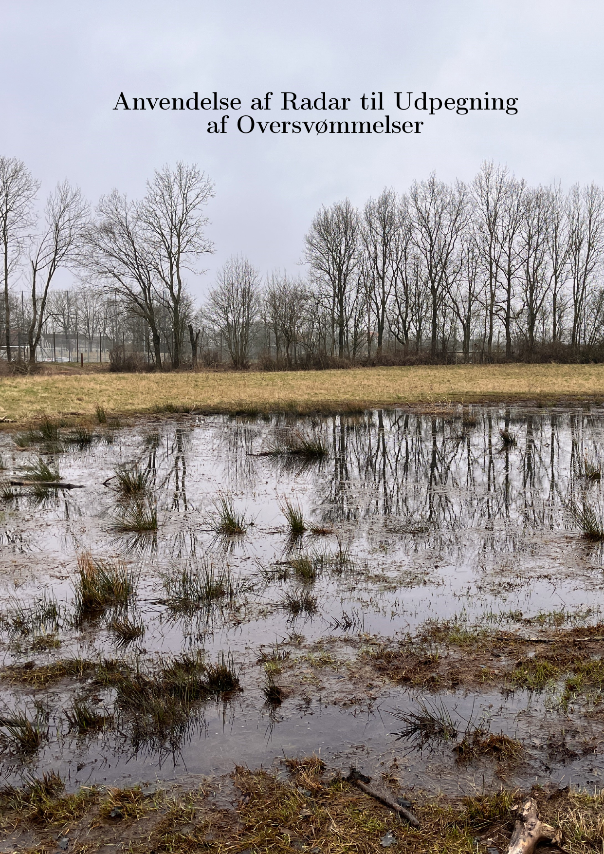
Anvendelse af Radar til Udpegning af Oversvømmelser
Oversat titel
Use of Radar for Identification of Floods
Forfattere
Semester
4. semester
Uddannelse
Udgivelsesår
2024
Afleveret
2024-06-05
Antal sider
98
Abstract
Dette projekt undersøger hvordan radar (radio detection and ranging) kan anvendes til at identificere udstrækningen og hyppigheden af oversvømmelser. Dette er med henblik på at relatere kortlægning af oversvømmelser i det åbne land med den nationale plan om at udtage 100.000 hektarer kulstofrige landbrugsjorde og omlægge disse til vådområder. Anvendelsen og forskellige metoder undersøges gennem et casestudie af Aarhus Kommune, hvor der anvendes SAR (Synthetic aperture radar) billeder for hver 12 dag. Med denne data udvikles en model, der kan klassificere billederne i vand og land, og herefter frasortere fejlklassificerede områder. Dette gøres blandt andet ved at analysere polariseringen og variansen af retursignalet, samt lavninger i terrænet. Med disse metoder forbedres nøjagtigheden af klassifikationen sammenlignet med et referencelag, og der udarbejdes en samlet kortlægning over et år (2023), hvorfra det tidslige aspekt og sæsonvariationer udforskes. Efterfølgende valideres modellen ved at sammenholde dens resultater med andre data. Her foretages et feltstudie hvor oversvømmede områder opmåles, og der indsamles jordprøver fra vandlidende områder, for at undersøge indholdet af organisk materiale. Derudover sammenlignes modellen med grundvands- og nedbørsdata samt optisk satellitdata.
This thesis researches how radar (radio detection and ranging) can be used to identify the extent and frequency of floods. The purpose is to be able to relate mapping of floods in open space with the Danish national plan to take out 100.000 acres of high-carbon soils and turn these into wetlands. The idea is that frequently flooded areas are ineffective for cultivating and growing crops and at the same time potentially have a higher carbon content. The use of radar is investigated through a case study of a Danish municipality, Aarhus, where SAR (Synthetic aperture radar) images are gathered from every 12th day. Using this data a model is developed which is able to first classify the cells of the image as either water or land using thresholding and subsequently remove misclassified areas using different methods. First, the polarisation of the waves is used, because the change of vertical or horizontal polarisation can indicate which type of surface structure the signal is reflected by. Second, the variance of the data in the transitional zone between water and land is applied to make corrections. This is based on the idea that the variance between actual water and land will be higher than the variance between misclassified water and land. Third, a terrain analysis is included in order to remove areas with no depressions in the terrain, as these are unlikely to be covered by water. These methods aim to improve the accuracy of the model when compared to a reference layer. The User Accuracy, which estimates how much of the water identified with the model is actually water, is greatly improved to 99 % using the model. However, the Producer Accuracy, which measures how much of the actual water the model identifies, remains at roughly 31 %. Using the model, the flooding is mapped for a whole year, 2023, from which the temporal aspect and seasonal differences are examined. Furthermore, the model outputs are validated using different data. This validation is split into two parts, where the first part is centred around a field survey. Here, multiple flooded areas are measured and mapped to be compared with the model output from the same day. Moreover, soil samples are collected, and their organic content is analysed, to investigate the correlation between high-carbon soils and frequent flooding. The second part focuses on data from other sources. This is primarily data on precipitation and groundwater levels, which is used to compare with the temporal aspects of the model, but also includes optical satellite data. Finally, the benefits and challenges of different methods are discussed, and the potential uses of the model are considered. The project concludes that the model is useful, has a high User Accuracy, and is well validated by an assortment of data. However, there are still challenges connected with the low temporal resolution and low Producer Accuracy, therefore, further research is needed to improve these aspects.
Emneord
GIS ; Radar ; SAR ; Oversvømmelse ; SNAP ; Polarisering ; Varians ; Change Detection ; ESA ; Sentinel ; GIS-modellering ; Confusion Matrix ; Tærrenmodel ; Remote Sensing ; Tidsserie ; Thresholding ; Klima ; Miljø ; Vådområder ; Lavbundsjorde ; Organisk kulstof ; SDG ; Klimaforandringer
