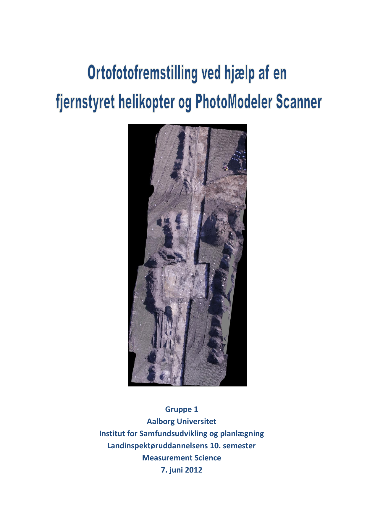
Ortofotofremstilling ved hjælp af en fjernstyret helikopter og PhotoModeler Scanner
Oversat titel
Orthophoto production by means of a radio controlled helicopter and PhotoModeler Scanner
Forfattere
Semester
4. semester
Udgivelsesår
2012
Afleveret
2012-06-07
Antal sider
92
Abstract
Dette speciale omhandler ortofotofremstilling på baggrund af luftfotos taget fra en fjernstyret helikopter. Selve fremstillingen foretages i programmet PhotoModeler Scanner. I foranalysen redegøres der for de lovmæssige begrænsninger, forskellen på dansk og svensk lovgivning, samt hvordan et ortofoto fremstilles på traditionel vis. I hovedanalysen undersøges de tre kameraparametre; blænde, ISO og lukkertid og det konkluderes, at de skal tilpasses vejrforholdene. Omtrent halvvejs i projektforløbet stoppes samarbejdet med Green Stick Studio, idet det ikke er muligt at finde en dag, hvor der kan flyves. I stedet bliver ortofotofremstillingen lavet på baggrund af billeder fra en gruppe i Ballerup. Resultatet bliver først vurderet visuelt, hvor det konkluderes, at der ikke er de store visuelle forskelle. Dernæst sammenlignes punktskyen fra PhotoModeler Scanner med indmålte targets. Denne sammenligning viser, at spredningen i højden er 11,7 cm og den forventede var 6,3 cm. Herefter sammenlignes ortofotoets plankoordinater med targets plankoordinater. Her bliver spredningen 7,1 cm og den forventede var 2,3 cm. Til sidst beregnes nøjagtigheden på det endelige ortofoto til 14,1 cm. Endeligt konkluderes det, at det er muligt at fremstille et ortofoto i PhotoModeler Scanner, hvor billederne er taget fra en helikopter, med en fornuftig nøjagtighed.
This thesis deals with orthophoto production based on aerial photographs taken from a radio controlled helicopter. The production is done in the software PhotoModeler Scanner. The preliminary analysis outlines the legal restrictions, the difference between Danish and Swedish law, and how an orthophoto is produced the traditional way. In the main analysis the three camera parameters; aperture, ISO and shutter speed are examined. It is concluded that they must be adapted to the weather conditions. Approximately halfway through the project, the cooperation with Green Stick Studio is stopped, since it was not possible to find a suitable day for flying. Instead the orthophoto production is made on the basis of a series of images from a group in Ballerup. The result is first assessed visually, which concluded that there are no major visual differences. Then the point cloud from PhotoModeler Scanner is compared with measured targets. This comparison shows that the height deviation is 11.7 cm with an expected of 6.3 cm. Subsequently the plane coordinates of the orthophoto are compared with the coordinates of the targets. Here the deviation is 7.1 cm with an expected of 2.3 cm. Finally the accuracy of the final orthophoto is computed to 14.1 cm. Finally it is concluded that it is possible to produce an orthophoto in PhotoModeler Scanner with images taken from a helicopter with a reasonable accuracy.
Emneord
