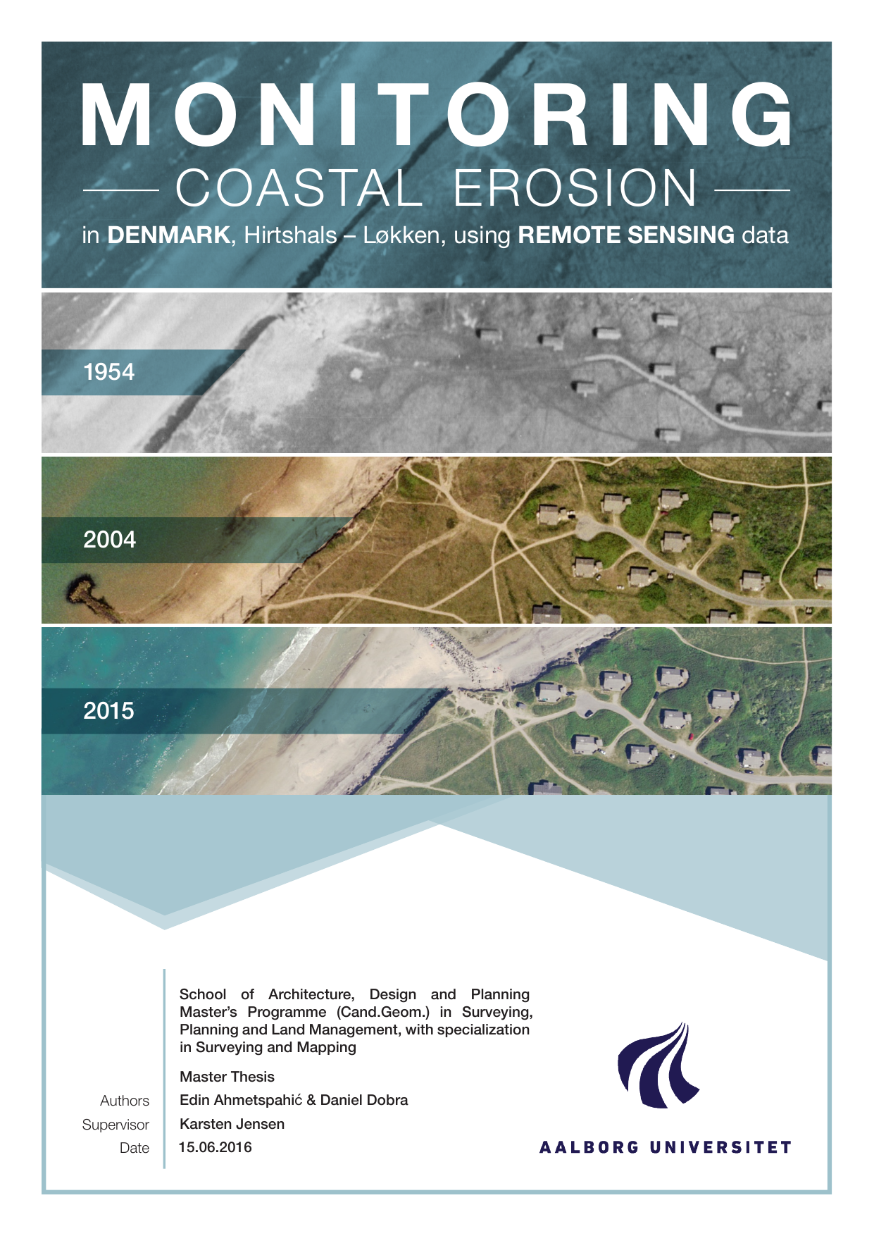
Monitoring coastal erosion in Denmark, Hirtshals – Løkken, using Remote Sensing data
Translated title
Authors
Term
4. semester
Publication year
2016
Submitted on
2016-06-14
Pages
100
Abstract
The purpose of this project is to monitor and evaluate the coastal erosion process occurring on a segment in north of Denmark, Hirtshals - Løkken, using remote sensing data collected from different years. First, the project describes the area of interest used for the study and the main reasons it was chosen for. Afterward, the data used in the project is presented, along with three different software (eCognition, ArcMap and MatLab). In order to understand better the differences between these software solutions, tests and comparisons are held, and where this part is closed with a few conclusions stated. Counting on the workload and the time available for the project, the effectiveness criterion of the process was important, where obtaining as close as possible to an automatic process was desired. After the erosion lines for each data set are extracted, different analysis and statistics referring the erosion situation and the consolidation offered by the protective constructions found along this segment is presented.
Keywords
Documents
