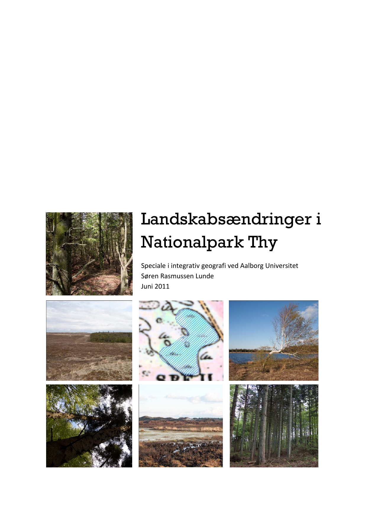
Landskabsændringer i Nationalpark Thy
Oversat titel
Landscape Change in Thy National Park
Forfatter
Semester
10. semester
Uddannelse
Udgivelsesår
2011
Afleveret
2011-06-09
Antal sider
85
Abstract
I dette speciale undersøges fremtidige ændringer i det synlige landskab i Nationalpark Thy som følge af planlagte projekter med indflydelse på landskabet i nationalparken. De nuværende planer for forvaltningen af nationalparken indeholder bl.a. planlægning af omlægning af skovdrift, delvis rydning af skov samt genopretning af vådområder. Den nuværende og fremtidige arealanvendelse er kortlagt i et geografisk informationssystem (GIS) og resultaterne er anvendt til statistisk analyse i programmet Fragstats. Det konkluderes at de planlagte tiltag vil medføre betydelige ændringer i det synlige landskab. I skovene vil ske ændringer i træarts‐ og alderssammen‐ sætningen fra rene ensaldrede bestande af overvejene nåletræarter til bestande med spredning i træarter og alder og med overvejende blandinger af løv‐ og nåletræarter. Der vil samtidig ske et betydeligt fald i skovarealet. Sammenhængen mellem klithedeområder vil øges, og overgange mellem skov og klithede vil fremstå mere gradvise. Endelig vil vådområdernes antal og areal øges både i klithede og skov. Der vil derved ske en bevægelse fra stærkt menneskeligt påvirkede landskaber til landskaber med en mere naturlig dynamik.
In this report the effects of planned landscape changes on the visual landscape in the Danish national park of Thy are examined. In 2008 the national park of Thy was established, making it the first Danish national park. Located at the west coast of Jutland, the area has been affected by sand drift for centuries, which has covered vast areas of agricultural land with sand. During the 19th century the movement of sand ceased, due in part to plantations along the coast. Today moor areas, coniferous plantations and wetlands make up most of the national park. The management of the national park is governed by a current plan for the management of the national park within a 6‐year period. This also brings a vision for the development of the national park within a 30‐year period. Both contain several projects regarding the landscape of the area. The most prominent of these are: a change in the plantations towards a more natural forestry, the establishing of zones with a gradual edge between moor and forest, and finally the reestablishing of former wetlands. Furthermore, the edge zones will also require clearings of forest, the purpose of which is both to establish gradual edges, but also to increase the connectivity of the moor areas. In the field of landscape analysis various understandings of the term landscape is used. This thesis examines the visual landscape in the national park, meaning the visible elements on the surface that together form a landscape. In landscape analyses, maps and statistical parameters are often used to quantify landscape changes. This project uses mapping of area use and statistical processing to examine the landscape changes that would happen if the planned projects for the national park are carried out. The area use today and the modeled area use after completing of the planned projects are mapped using different public geodata sources. The mapping is conducted in the geographical information system ArcMap 9.3.1, ArcInfo. The current and future area use is processed statistically through the statistical program Fragstats. To discuss the changes in the vertical structure (the eye‐view) of the landscapes, various locations have been photographed. Through these analyses it is found that the projects will result in substantial landscape changes within the national park if they are all carried out. The forest area will decline, due to clearings in the edge zones and reestablishment of wetlands in the forests. The composition of the forests will change from populations with single species, mainly coniferous, to mixed populations with several tree species on each locality, mainly mixed coniferous and deciduous species. At the same time the structure of the forests 6 of today with homogenous age of trees on each area will be replaced by a heterogenous distribution of age. The establishing of edge zones will mean a higher level of interconnection between moor areas and hence a more connected moor landscape. Also the edge zones can result in more gradual edges between moor and forest, dependent on the extent of clearing of new trees in the moor near the forests. The wetlands will increase in number and area, both in moor and forest. They will be more visible in the moor, but not change the moor landscape significantly. In the forests the vertical structure in the areas where wetlands are reestablished will be radically changed, since trees generally cannot grow in areas with too high ground water levels. The overall landscape changes in the national park can then be summed up as a change from landscapes with a high degree of human influence to landscapes with a higher degree of natural processes or as a movement from cultural landscapes towards natural landscapes.
