Integrating Historical Maps and Photographs into Geographic Information Systems (GIS): Hamra of Beirut Revisited
Translated title
Integrering af Historiske Kort og Fotografier i Geografiske Informations Systemer (GIS): Hamra i Beirut Genopdaget
Authors
Term
4. term
Publication year
2015
Submitted on
2015-06-10
Pages
92
Abstract
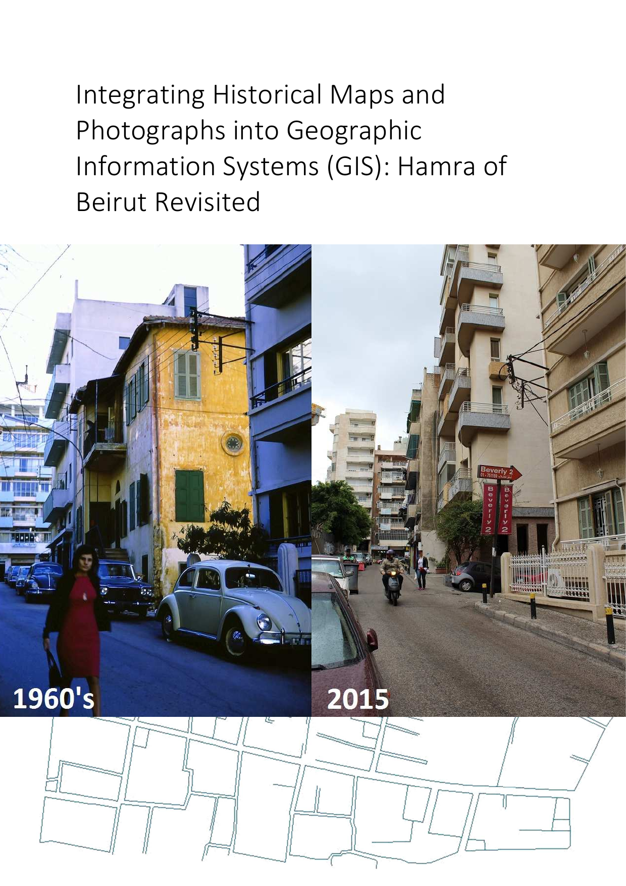
In 1973 geographer Per Kongstad and sociologist Samir Khalaf published the book Hamra of Beirut – A Case of Rapid Urbanization. The book contains a series of cartographic elements and analysis from the Hamra area in Beirut, Lebanon. The material is mainly from the 1960’s. We gained access to these original maps, as well as unpublished photographs of the time, and proposed to digitise and integrate them into a Geographical Information System (GIS) environment. We discuss the validity of integrating these materials, into urban studies, and describe the technical aspects related to processing the data. Issues such as database design, scanning, georeferencing, vectorising, attribute filling, and sharing online are discussed in the thesis. At last we reflect on the results and suggest future research.
Keywords
Documents
