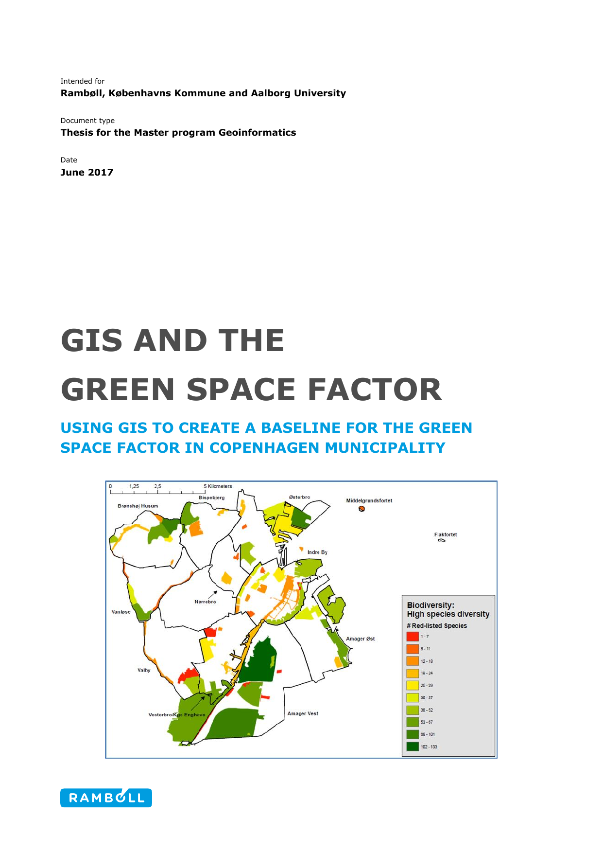
GIS and the Green Space Factor. Using GIS to create a baseline for the Green Space Factor in Copenhagen Municipality: Using GIS to create a baseline for the Green Space Factor in Copenhagen Municipality
Translated title
GIS and the Green Space Factor. Using GIS to create a baseline for the Green Space Factor in Copenhagen Municipality
Author
Term
4. term
Publication year
2017
Submitted on
2017-06-07
Pages
72
Abstract
Copenhagen Municipality is developing a Green Space Factor tool. The aim is to have more urban nature in new city development areas, increase biodiversity, improve climate adaptation and increase the nature experiences for the citizens of Copenhagen. The Green Space Factor in Copenhagen focuses on four qualitative subjects: biodiversity, climate adaptation, recreation and site characteristics like cultural and landscape elements. This project will use GIS and remote sensing in form of Orthophotos and Lidar to calculate and extract the data necessary to create a baseline for the Green Space Factor in Copenhagen.
Keywords
GIS ; Urban Nature ; Green Space factor ; Lidar ; Orthophoto
Documents
