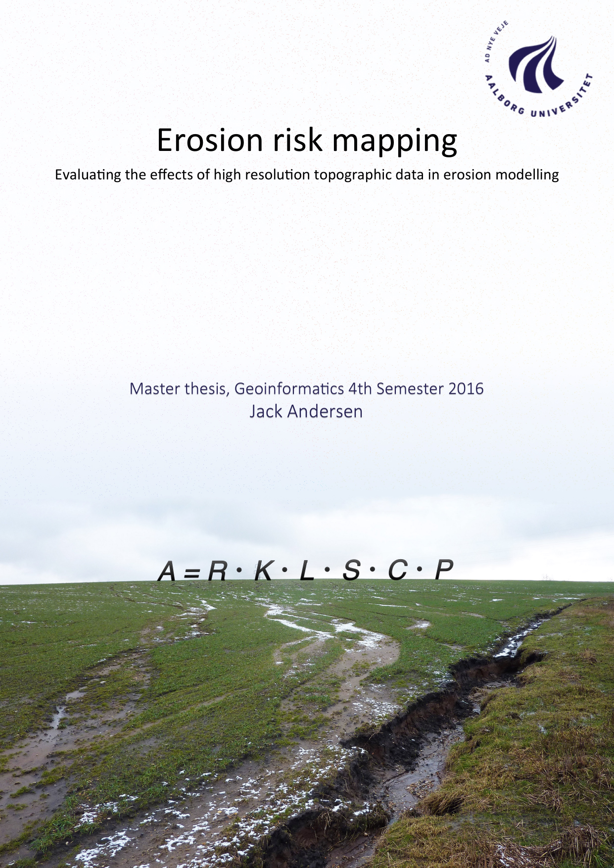
Erosion risk mapping, evaluating the effects of high resolution topographic data in erosion modelling
Translated title
Author
Term
4. semester
Publication year
2016
Submitted on
2016-06-07
Pages
113
Abstract
The focus of this project, has been to understand the physical components in erosion modelling. Erosion is a complex process of many environmental parameters. The relationship between these, determine the patterns of redistribution and deposition. In this project a model has been created based on the RUSLE-principles. This serves as the foundation of a comparative analysis that aims to enlighten the aspects of using high resolution data, to estimate soil erosion. This is important with regards to sustaining a healthy water supply and habitats for several species. The RUSLE model, takes six physical components into account, Precipitation, Soil type, Topographic length- /steepness, Vegetation and Supporting practices. These considerations was the basis of finding whether high resolution topographic data, is applicable in erosion modelling.
Keywords
RUSLE ; erosion ; modelling ; topography ; length ; steepness ; danish DEM ; height model
Documents
